Eco-points in natural region D62
Oberpfälzisch-Obermainisches Hügelland
Eco-points and compensation land in BfN natural region D62, the Oberpfälzisch-Obermainisches Hügelland between the Obermain and the Naab. greeNature develops BayKompV-compliant compensation measures here and supports project developers as an experienced partner.
Natural region D62 at a glance
The Oberpfälzisch-Obermainisches Hügelland runs as a narrow, around 170-kilometre-long band in a north-west to south-east direction through eastern Bavaria. It separates the Fränkische Alb in the south-west from the fringe mountains of the Frankenwald, Fichtelgebirge and Oberpfälzer Wald in the north-east, and is only 7 to 35 kilometres wide. The landscape extends from the Main floodplains near Lichtenfels and Kulmbach, through the Bayreuth area, into the Upper Palatinate around Weiden, Amberg and Schwandorf. In natural-region terms, it is divided into the northern Obermainisches Hügelland and the southern Oberpfälzisches Hügelland, whose boundary essentially follows the watershed between the Main and the Naab.
Geologically, the natural region is exceptionally varied. In the Obermain part, rocks of the Lias (Black Jurassic) and Dogger (Brown Jurassic) predominate, while the Upper Palatinate part combines almost every rock age from the Permian to the present. A defining feature is the Fränkische Linie, one of the most significant fault zones in Central Europe, along which the hill country drops away against the crystalline fringe mountains. Faults with a Hercynian strike break up the subsoil on a small scale, so that Bunter sandstone, Keuper and Jurassic rocks, along with basalts and Cretaceous and Tertiary deposits in places, alternate within a small area.
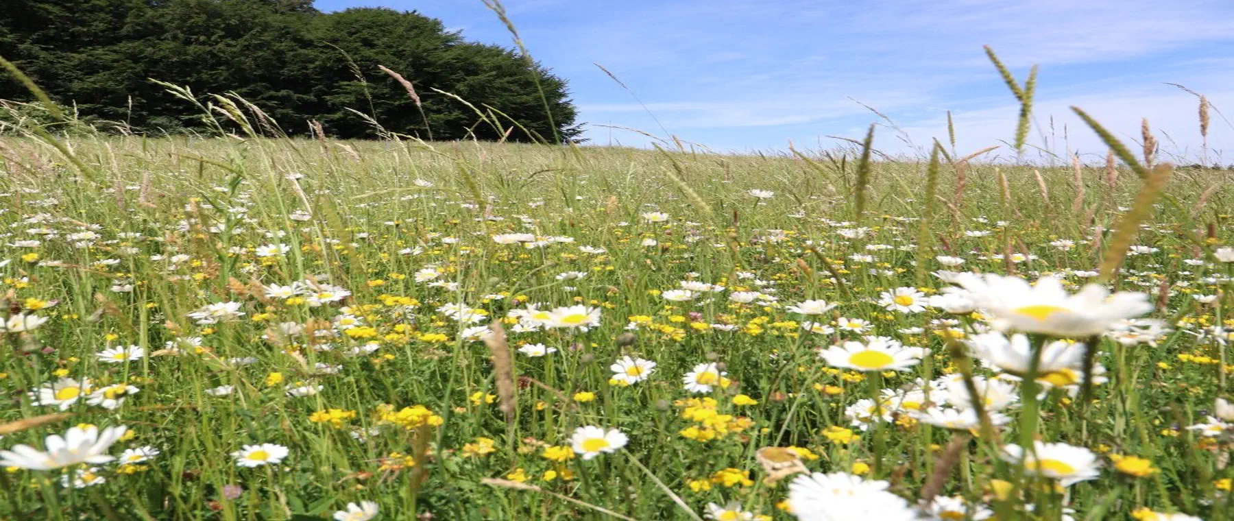
Over long stretches, this is a structurally rich cultural landscape dominated by arable and grassland use. The valley spaces of the Roter Main, Steinach, Haidenaab and Naab, with their broad valley floors, wet and marshy meadows and remnants of floodplain and swamp forest, form ecological backbones. In the lowlands, for example around the Haidenaab, extensive chains of ponds and traditional pond farming characterise the scene and provide habitat for many endangered species. Larger contiguous woodlands, mostly pine and spruce plantations, stand north-west of Bayreuth and west of Weiden and east of Schwandorf.
The share of protected areas is comparatively low, at a few per cent of the area, and the intensification of agriculture and earlier land consolidation have strongly pushed back the wetland habitats of the lowlands. This creates a considerable need for nature conservation action, which fits well with compensation obligations. Upgrades of watercourses, wet meadows and pond landscapes have a particularly high ecological benefit in this natural region.
📍 Districts covered
🌿 Ecological features
- Around 170 km long but only 7 to 35 km wide transitional band between the Fränkische Alb and the eastern Bavarian fringe mountains
- The Fränkische Linie, a striking fault zone along which the hill country drops away against the crystalline fringe mountains
- Small-scale alternation of rocks from the Permian, through Bunter sandstone and Jurassic, to Cretaceous and Tertiary deposits
- Chains of ponds and traditional pond farming in the lowlands, especially around the Haidenaab
- River and stream floodplains of the Roter Main, Steinach and Naab, with wet and marshy meadows as ecological backbones
- Comparatively low share of protected areas and a high need for upgrading in the valley lowlands
- Supra-regionally significant sandstone quarries in the Kulmbach Keuper-Lias area
✅ greeNature in this region
greeNature develops and manages compensation land and eco-accounts in the Oberpfälzisch-Obermainisches Hügelland in line with the requirements of the Bavarian Compensation Ordinance (BayKompV). We know the natural-region features between the Obermain and the Naab and coordinate measures so that they fit the natural region technically and can be agreed with the districts' lower nature conservation authorities. From land acquisition through planning to permanent securing and management, we support project developers who want to compensate impacts in a legally sound and technically sound way.
Typical measures in natural region D62
Restoring watercourses
Removing bank reinforcement, reconnecting former river arms and developing continuous watercourses on the Roter Main, Steinach and Haidenaab, to promote floodplain dynamics and habitats for kingfisher and fish fauna.
Developing wet and marshy meadows
Extensification and rewetting of grassland in the valley lowlands. Late mowing and forgoing fertiliser create habitat for meadow-breeding birds such as the northern lapwing.
Upgrading ponds and fishponds
Creating and managing near-natural chains of ponds with shallow-water zones and silting-up areas in the tradition of Upper Palatinate pond farming, for the benefit of amphibians, dragonflies and waterfowl.
Developing floodplain forest and bankside woodland
Supplementing site-appropriate floodplain and swamp forest stands, and continuous bankside woodland along the streams, which reduce erosion and connect habitats with one another.
Creating dry habitats and field margins
Opening up and managing nutrient-poor embankments, woodland margins and old sandstone quarries as habitat for sand lizard, wild bees and heat-loving plants.
Structuring the arable landscape
Creating hedgerows, field balks and perennial flowering and field-margin strips in the cleared agricultural land, to support farmland birds and insects and connect habitats.
Protected species in the Oberpfälzisch-Obermainisches Hügelland
Black stork
Breeds in the extensive, low-disturbance woodland of the natural region and forages along streams, in wet meadows and at ponds. Sensitive to disturbance near the nest.
About this species ›Northern lapwing
A characteristic species of open wet and marshy meadows that has become markedly rarer in the region. Benefits from rewetted lowlands and extensively managed grassland.
About this species ›Kingfisher
Inhabits near-natural watercourses such as the Roter Main and Steinach, with steep eroding banks as breeding sites, and indicates good water quality.
About this species ›Sand lizard
Uses sun-exposed embankments, railway embankments, woodland margins and the sandstone quarries of the Keuper-Lias area. Strictly protected under Annex IV of the FFH Directive.
About this species ›Barbastelle
A forest-dependent bat species that, in eastern Bavaria, inhabits structurally rich woodland rich in old and dead wood and roosts behind loose bark. Listed in Annexes II and IV of the FFH Directive.
About this species ›Yellow-bellied toad
A pioneer species of seasonally wet small water bodies that inhabits temporary pools in extraction sites, on forest tracks and in pond landscapes. Dependent on regularly newly forming bare-ground waters.
About this species ›Your route to eco-points in D62
Contact and enquiry
Tell us your compensation requirement and the natural region. We check availability.
Offer and advice
A transparent offer covering measure types, scope and availability.
Coordination with authorities
Full coordination with the lower nature conservation authority. We handle everything.
Long-term monitoring
Permanent securing of the land, management and documentation across the contract term.
Eco-points in neighbouring natural regions
All about natural region D62
Request eco-points in natural region D62
We will promptly prepare a transparent offer with matching eco-points held in stock in the Oberpfälzisch-Obermainisches Hügelland.