Eco-points in natural region D48
Thüringisch-Fränkisches Mittelgebirge
The natural region D48, the Thüringisch-Fränkisches Mittelgebirge, comprises the Thüringer Wald, the Thüringer Schiefergebirge, the Frankenwald and the Fichtelgebirge. greeNature develops and manages compensation areas here true to the natural region under the Thuringian assessment model, from montane meadows and woodland conversion to watercourse and bog restoration, and provides project developers with legally sound compensation from a single source.
Natural region D48 at a glance
The major natural region D48 Thüringisch-Fränkisches Mittelgebirge combines the Thüringer Wald, the Thüringer Schiefergebirge, the Frankenwald and the Bavarian Fichtelgebirge into one unit. Its core is the Thüringer Wald, a wooded upland range that extends around 150 kilometres from Eisenach in the north-west to the Sonneberg area in the south-east. The Rennsteig, a historic ridge path around 170 kilometres long, runs along its crest. With the Großer Beerberg (982 m) and the Schneekopf (978 m), this is where the highest peaks in Thuringia are located. In the south-east, the range merges into the Thüringisches Schiefergebirge.
Geologically, the Thüringer Wald is built up from volcanic rocks of the Rotliegend (porphyry and rhyolite) and from the crystalline basement of the Ruhlaer Kristallin. The harsh, rain-rich upland climate and the acidic, often shallow soils shape the landscape. The Thüringer Wald is a source area for numerous rivers, and the Rennsteig follows the watershed between the river basins of the Weser, Rhine and Elbe over long stretches.
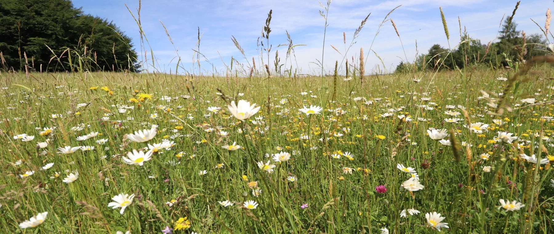
The landscape and habitats are dominated by montane spruce and beech woodland, interspersed with species-rich montane hay meadows, montane heaths, and raised and spring bogs at the ridge elevations. Clear, cool upland streams run through the valleys. Large parts are protected as the Thüringer Wald Nature Park and as a UNESCO Biosphere Reserve, established in 1979 as the Vessertal reserve, the first biosphere reserve in Germany.
This natural endowment gives rise to diverse opportunities for compensation. The management of montane meadows, the conversion of non-native spruce plantations into mixed montane woodland, the restoration of streams and bogs, and the protection of the European wildcat, black stork and fire salamander create measurable enhancements. In Thuringia, they are assessed under the Thuringian assessment model, with compensation and replacement intended to take effect, wherever possible, within the affected natural region.
📍 Districts covered
🌿 Ecological features
- Rennsteig: a ridge path around 170 km long along the mountain crest, and a historic border and ridge route.
- Großer Beerberg (982 m) and Schneekopf (978 m) as the highest peaks in Thuringia.
- Thüringer Wald UNESCO Biosphere Reserve, established in 1979 as the Vessertal reserve, the first biosphere reserve in Germany.
- Thüringer Wald Nature Park with extensive montane spruce and beech woodland.
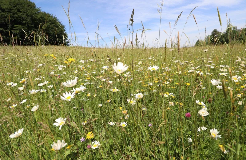
- Species-rich montane hay meadows, montane heaths, and raised and spring bogs at the ridge elevations.
- Source area for numerous rivers; the Rennsteig follows the watershed between the Weser, Rhine and Elbe over long stretches.
✅ greeNature in this region
greeNature is active as a partner for nature-conservation compensation in the Thüringer Wald and develops eco-account and compensation areas together with woodland owners, farmers, forestry operations and municipalities. We secure suitable land, plan measures typical of the natural region under the Thuringian assessment model, and take on implementation, long-term management and monitoring. Because compensation and replacement should take effect, wherever possible, within the affected natural region, we pay attention to selecting land that is true to the natural region, for example through montane meadows, woodland conversion, and watercourse and bog restoration. Where there is a need for species protection under section 44 BNatSchG, we design advance CEF measures that continuously secure the ecological function for the species affected. We document the results for recognition by the responsible nature conservation authorities.
Typical measures in natural region D48
Montane hay meadows and montane meadows
Restoration and extensive management of species-rich montane hay meadows (FFH habitat type 6520) through adapted mowing without fertilisation. These open-land habitats of the middle and higher elevations are among the most valuable and highest-potential areas for enhancement in the Thüringer Wald.
Near-natural woodland conversion
Conversion of structurally poor spruce plantations into site-appropriate mixed beech and montane woodland with silver fir and sycamore. Following storm and bark beetle damage, this creates climate-stable woodland, rich in structure and dead wood, as habitat for cavity-nesting birds, bats and the European wildcat.
Restoration of upland streams
Removal of channel modifications and transverse structures, creation of bank structures and floodplain woodland fringes on clear upland streams such as the Ilm, Schleuse and Hasel. Connected, cool watercourses secure habitats for the fire salamander, bullhead, brook lamprey and kingfisher.
Bog restoration at the ridge elevations
Rewetting of raised and spring bogs along the Rennsteig by damming drained areas. Restored bogs store carbon, stabilise the water balance, and are home to specialised species of bog and wet sites.
CEF and FCS species protection
Tailored measures under section 44 BNatSchG: securing bat roosts in adits of historic mining, nest-site protection for the black stork, and the development of movement corridors and cover structures for the European wildcat.
Mat-grass swards and montane heaths
Management and development of mat-grass swards, montane heaths and nutrient-poor pastures through extensive grazing and scrub clearance. In the valley locations, traditional orchards and hedgerows complete the habitat network between open land and woodland.
Protected species in the Thüringisch-Fränkisches Mittelgebirge
Fire salamander
The fire salamander is a characteristic species of the crystal-clear upland streams of the Thüringer Wald. Its larvae develop in cool, oxygen-rich woodland streams. Restored, connected watercourses and near-natural stream floodplains secure its breeding waters and are suitable as a compensation measure.
About this species ›Black stork
The black stork, sensitive to disturbance, breeds in quiet, old woodland and forages at streams and wet meadows near the woodland. Nest-protection zones, undisturbed old-growth stands and restored watercourses secure its territories.
About this species ›European wildcat
The Thüringer Wald is among the important ranges of the European wildcat. It depends on contiguous, low-disturbance broadleaf and mixed woodland with dead wood and cover. Woodland habitat networks and movement corridors benefit the species.
About this species ›Bats
Old beech woodland, adits of historic mining and building roosts are home to numerous bat species such as Bechstein's bat, the barbastelle bat and the greater mouse-eared bat. Roost protection and the retention of structurally rich hunting habitats are typical species-protection measures.
About this species ›Black grouse and montane birds
In the ridge elevations, with montane heaths, bogs and open woodland, demanding species such as the black grouse, ring ouzel and Tengmalm's owl occur. Keeping montane meadows open and restoring bogs improve their habitats.
Kingfisher
The kingfisher inhabits the clear, fish-rich streams of the valley locations and needs near-natural steep banks for breeding. Watercourse restoration with structurally rich banks creates suitable breeding and foraging habitats.
About this species ›Your route to eco-points in D48
Contact and enquiry
Tell us your compensation requirement and the natural region. We check availability.
Offer and advice
A transparent offer covering measure types, scope and availability.
Coordination with authorities
Full coordination with the lower nature conservation authority. We handle everything.
Long-term monitoring
Permanent securing of the land, management and documentation across the contract term.
Eco-points in neighbouring natural regions
All about natural region D48
Request eco-points in natural region D48
We will promptly prepare a transparent offer with matching eco-points held in stock in the Thüringisch-Fränkisches Mittelgebirge.