Eco-points and compensation areas
District of Saale-Orla-Kreis
Eco-points and compensation areas from recognised eco-accounts, assessed according to the Thuringian compensation model. greeNature is your full-service partner for compensation in the Thuringian slate mountains and at the Upper Saale.
The District of Saale-Orla-Kreis at a glance
Saale-Orla district is located in south-eastern Thuringia and borders Bavaria and Saxony. Thuringia is not divided into administrative regions. The Thuringian slate mountains/Upper Saale Nature Park is characteristic, uniting great geological and biological diversity with several very different natural regions. The district includes, among others, the Upper Saale valley, the Orla depression, the High Thuringian slate mountains with the Frankenwald northern edge, the Schwarza-Sormitz area and the Plothener pond plateau.
Geologically, the range extends from the slates and greywackes of the slate mountains via Zechstein limestones to the Buntsandstein areas in the north. The Upper Saale is characterised by deep gorge valleys and two of Thuringia's largest reservoirs, the Bleilochtalsperre and Hohenwarte reservoir. Mountain streams such as Schwarza, Sormitz and Wisenta run through the forested heights.
In terms of nature conservation, the district is densely covered with Natura 2000 sites, cared for via the Upper Saale Natura 2000 station with numerous FFH sites and bird protection sites. Of particular significance are the Dreba-Plothener pond area (nature reserve, also FFH and bird protection site) and significant bat shelter sites, including occurrences of the lesser horseshoe bat in the Schwarza valley.
Economy and infrastructure regularly create compensation requirements. The federal motorway A9 crosses the district, as do federal roads, wind energy on the plateaus, ground-mounted photovoltaic systems, commercial areas around Pößneck, Schleiz and Triptis, as well as raw material extraction. Impacts are compensated according to the Thuringian compensation model on the basis of ThürNatG and the Thuringian Compensation Ordinance.
🗺️ Associated natural regions
Go to natural region D18 ›
Go to natural region D48 ›
📍 Selected municipalities
🌿 Ecological features
- Thuringian slate mountains/Upper Saale Nature Park with five very different natural regions
- Dreba-Plothener pond area, nature reserve and part of Natura 2000 (FFH and bird protection site)
- Bleilochtalsperre and Hohenwarte reservoir, two of Thuringia's largest reservoirs, on the Upper Saale
- Significant bat shelter sites, lesser horseshoe bat in Schwarza valley, Bechstein's bat on the slopes of Bleilochtalsperre
- Schwarza-Sormitz area with near-natural, continuous mountain streams
- Zechstein lime grasslands and silicate screes from former slate mining as special habitats
- Green Band along the former inner-German border in the Hirschberg and Gefell area
✅ greeNature on the ground
greeNature operates nationwide and manages compensation according to the Thuringian compensation model. We are familiar with the natural region requirements in the slate mountains and at the Upper Saale, coordination with the lower nature conservation authority of Saale-Orla district and assessment according to ThürNatG and the Thuringian Compensation Ordinance from project practice.
Typical measures in the district of Saale-Orla-Kreis
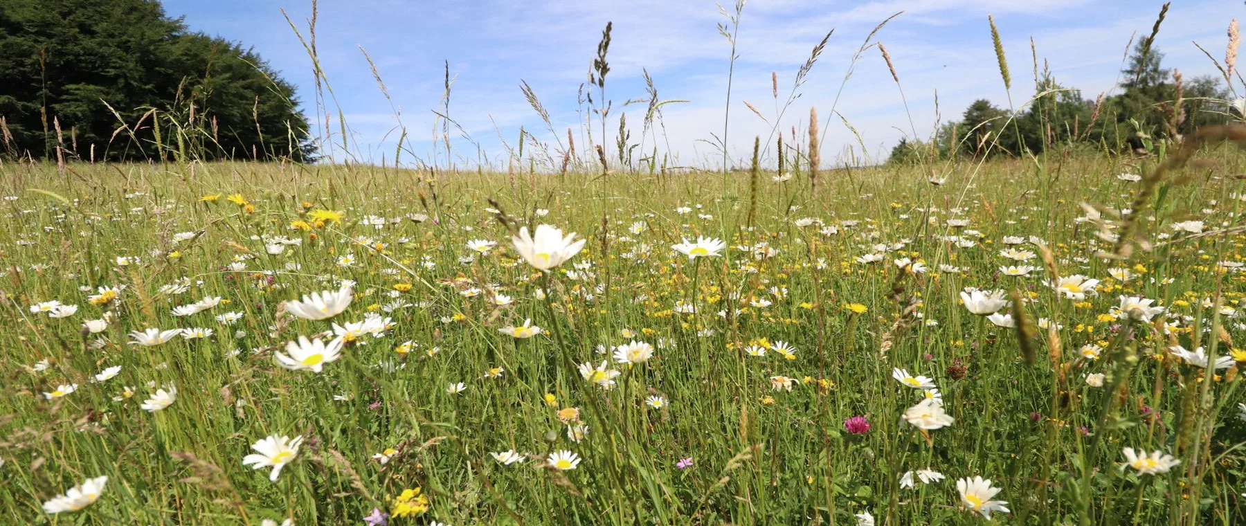
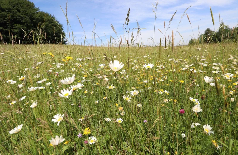
Mountain meadows and extensively managed grassland
Development and extensive management of species-rich mountain and damp meadows in the slate mountains via adapted mowing and grazing concepts. Habitat for butterflies, meadow-breeding birds and insects, and nature region-appropriate enhancement according to the Thuringian assessment model.
Flowing water and aue restoration
Restoration of continuous mountain streams on Schwarza, Sormitz, Wisenta and Orla with erosion banks, deadwood and accompanying floodplain forest. Promotes kingfisher, bullhead, brook lamprey and the waters' own dynamics.
Pond and damp habitats
Creation and management of near-natural, fish-free small waters in the vicinity of the Plothener pond landscape. Spawning waters for great crested newts and other amphibians as well as succession zones for dragonflies and reed inhabitants.
Secure bat shelters
Securing and optimising winter and nursery quarters in slate tunnels, cellars, attics and churches, focusing on lesser horseshoe bat and Bechstein's bat. Typical advance measure (CEF) under § 44 BNatSchG.
Chalk grasslands and silicate screes
Clearing and grazing of thermophilic Zechstein lime grasslands as well as management of slate silicate screes from former mining. Habitat for sand lizards, wild bees and rare orchids.
Forest conversion and habitat networking
Conversion of nature-distant spruce forests into climate-stable broadleaf and mixed forests and creation of hedgerows and structurally rich forest edges. Stepping stones and networking for hazel dormouse, European wildcat and forest species.
Protected species in the Thuringian slate mountains and Upper Saale
bats in slate mountains
Old slate tunnels, cellars and church attics house significant shelter sites, including the lesser horseshoe bat in Schwarza valley and Bechstein's bat on the slopes of Bleilochtalsperre. Shelter securing and preservation of hunting habitats are typical CEF measures.
About this species ›black stork
The extensive, minimally disturbed forests of the slate mountains with their clear mountain streams provide the black stork with breeding and food habitats. When impacts occur in forest and flowing water areas, it must regularly be considered in special species protection assessments.
About this species ›European wildcat
Thuringian slate mountains are among the core areas of the European wildcat. Forest networking, deadwood and unfragmented spaces are decisive. Migration crossings and forest edge design serve to preserve favourable conservation status (FCS).
About this species ›great crested newt and amphibians
The Plothener pond landscape and numerous small waters harbour great crested newt, tree frog and other amphibians. Newly created, fish-free spawning waters are proven CEF measures when impacts occur in the vicinity of pond areas.
About this species ›kingfisher
The kingfisher breeds at Saale, Orla and near-natural mountain streams in steep banks. Erosion banks, perches and undisturbed watercourse sections secure its breeding sites during water and infrastructure projects.
About this species ›sand lizard
On sunny Zechstein grasslands, slate screes, railway embankments and quarry slopes, the sand lizard finds suitable habitats. It is a frequent target species in construction, raw material and cable route projects, with habitat creation and relocation as CEF measures.
About this species ›Which projects trigger a compensation obligation?
traffic and infrastructure
Federal motorway A9 (Berlin and Munich) crosses the district around Triptis, Schleiz and Bad Lobenstein, with federal roads such as B2, B90 and B281 as well as town bypasses. Expansion and new construction regularly trigger compensation and replacement obligations according to the Thuringian compensation model.
wind energy
Wind turbines are being erected on the plateaus of the slate mountains and East Thuringian-Vogtland high plateaus. They require species protection assessments, including for bats and large birds, as well as nature conservation compensation.
photovoltaics and commerce
Ground-mounted photovoltaic systems and commercial and industrial areas in Pößneck, Schleiz and Triptis lead to land sealing and thus compensation requirements, from assessment to permanent securing of compensation areas.
raw material extraction
Extraction of diabase, greywacke and limestone in the region's quarries impacts nature and landscape. Restoration, development of secondary habitats and replacement measures are required here.
From enquiry to monitoring
Contact and enquiry
Tell us your compensation requirement and the natural region. We check availability.
Offer and advice
A transparent offer covering measure types, scope and availability.
Coordination with authorities
Full coordination with the lower nature conservation authority. We handle everything.
Long-term monitoring
Permanent securing of the land, management and documentation across the contract term.
Eco-points in adjoining districts
All about eco-points
in the district of Saale-Orla-Kreis
Request eco-points in the district of Saale-Orla-Kreis
We will promptly prepare a transparent offer with matching eco-points held in stock in the district of Saale-Orla-Kreis.