Eco-points and compensation areas
District of Pfaffenhofen an der Ilm
Immediately available eco-points from authority-recognised eco-accounts in the district of Pfaffenhofen an der Ilm. greeNature solutions is your full-service partner for compensation according to BayKompV in the Hallertau and Ilm valley.
The District of Pfaffenhofen an der Ilm at a glance
The district of Pfaffenhofen an der Ilm is located in the north of the administrative region Upper Bavaria, between Munich, Ingolstadt and Landshut. The district capital is Pfaffenhofen an der Ilm. The district belongs for the most part to the Hallertau, the world's largest contiguous hop-growing area, and is traversed by the rivers Ilm, Paar, Abens and in the north by the Danube.
In terms of natural regions, the district belongs to the Lower Bavarian Hilly Country (BfN natural region D65), a gently undulating Tertiary hilly landscape with finely branched valley systems. Characteristic are asymmetrical valleys with flat, south- and south-east-facing slopes and fertile loess-clay soils. Along the Danube in the north, floodplains and shale terraces characterise the landscape, whilst the hilly country is determined by hop gardens, arable cultivation and woodland patches.
Ecologically significant are the Danube floodplains between Ingolstadt and Weltenburg (FFH area DE-7136-304), the Feilenmoos with Nöttinger pasture (DE-7335-371) as a lowland moorland and wet meadow complex, and the Paar and Ecknach floodplains (DE-7433-371). In addition, there are regionally significant greater mouse-eared bat colonies in the Lower Bavarian Hilly Country, for which the district bears special responsibility.
Economically, the district is strongly characterised by industry and infrastructure: the Vohburg refinery (Bayernoil), the aerospace location Manching, and numerous suppliers and food companies. As part of the Munich and Ingolstadt area of influence, the district records sustained population and commercial growth. Infrastructure, industrial and settlement projects regularly create substantial compensation requirements according to BayKompV here.
🗺️ Associated natural regions
Go to natural region D65 ›
📍 Selected municipalities
🌿 Ecological features
- FFH area Danube floodplains between Ingolstadt and Weltenburg (DE-7136-304), near-natural river floodplains
- Feilenmoos with Nöttinger pasture (DE-7335-371), lowland moorland and wet meadows in the district
- FFH area Paar and Ecknach (DE-7433-371), watercourse and floodplain linkage
- Greater mouse-eared bat colonies in the Lower Bavarian Hilly Country, breeding colonies in church roofs
- Hallertau as the world's largest hop-growing area with characteristic cultural landscape
- Tertiary hilly landscape with loess-clay slopes, traditional orchards and heat-loving edge communities
- Ilm, Paar and Abens valleys as habitat linkage axes through the district
✅ greeNature on the ground
Our Bavarian location in Kastl (Lkr. Altötting) is located in the same Upper Bavarian compensation space. We know the requirements of the Lower Nature Conservation Authority (Untere Naturschutzbehörde) at the District Office Pfaffenhofen, the regional land pools and the nature conservation characteristics of the Hallertau and Danube floodplains from practice.
Typical measures in the district of Pfaffenhofen an der Ilm
Floodplain restoration on Ilm and Paar
Revitalisation of bank structures, oxbows and floodplain forest stands along Ilm, Paar and Abens. Creation of near-natural watercourse dynamics as habitat for kingfisher, beaver and fish fauna.
Rewetting of wet meadows
Raising of water level and extensification in the vicinity of the Feilenmoos and lowlands. Development of species-rich wet and meadow plots as breeding habitat for meadow-breeding birds such as the northern lapwing.
Field margin and field-area structures
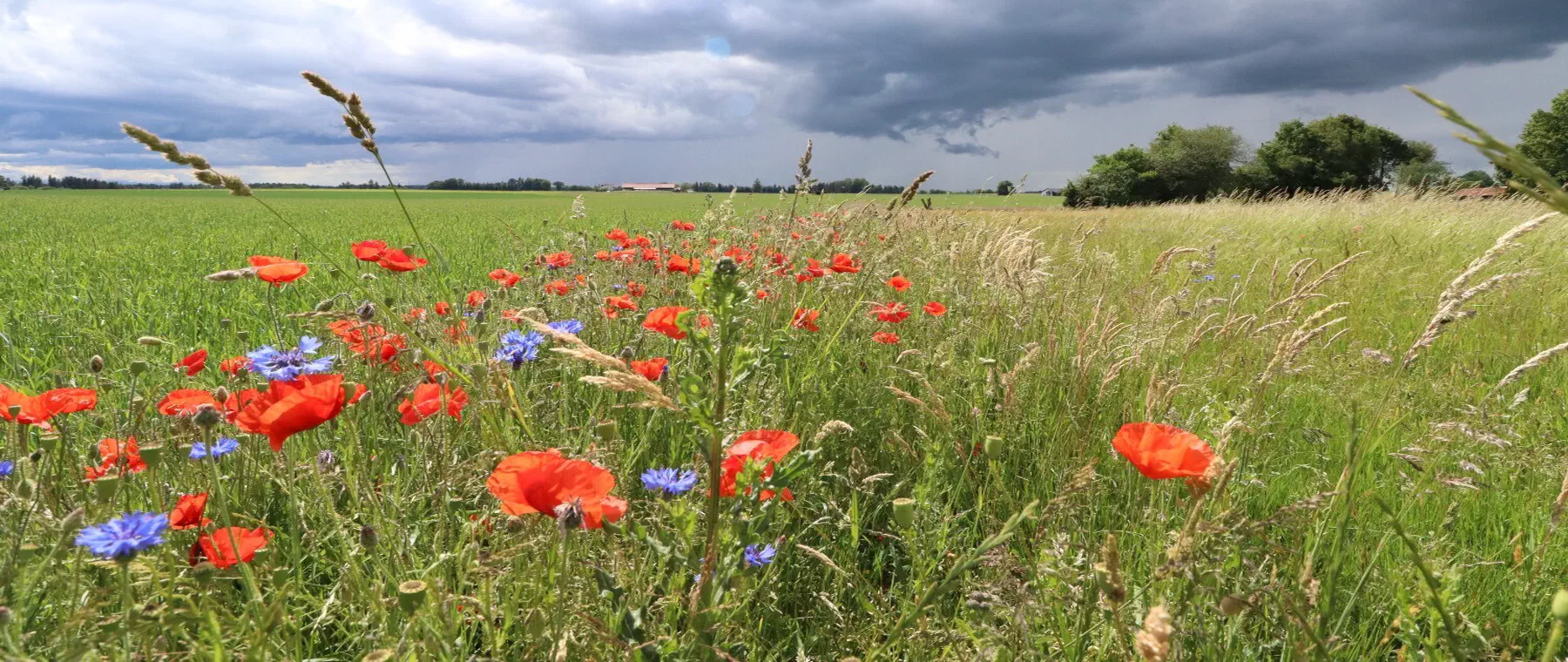
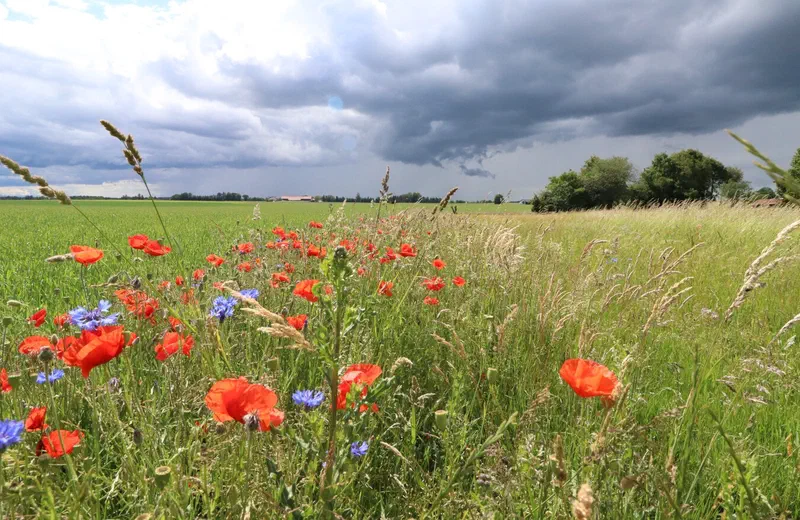
Creation of field margin strips, flower areas and lark windows in the open field landscape and in the vicinity of the hop gardens. Enhancement of habitat for skylark, grey partridge and common hamster.
Traditional orchards and hedgerows
Creation of traditional orchard stands and hedgerow lines on loess-clay slopes of the Tertiary hilly country. Stepping-stone habitats and food habitats for little owl, red-backed shrike and wild bees in the habitat network.
Species protection CEF and FCS
Securing of greater mouse-eared bat breeding colonies in church roofs, kingfisher cliff banks at watercourses, sand lizard habitats on railway and road embankments, as well as amphibian waters, tailored according to BayKompV.
New afforestation and forest conversion
Site-appropriate deciduous mixed forests on marginal land of the hilly country, as well as conversion of coniferous forests towards climate-stable, structured stands with high compensation value.
Protected species in the Hallertau and Ilm valley
Greater mouse-eared bat
The district is home to significant breeding colonies of the greater mouse-eared bat (Annex II FFH Directive) in church roofs. Roost securing, undisturbed access and preservation of structured hunting habitats are typical CEF measures.
About this species ›Northern lapwing
The wet and lowland moorland areas around the Feilenmoos and the Nöttinger pasture are breeding areas for the northern lapwing. Extensive meadow management, rewetting and nest protection secure the breeding success of this meadow-breeding bird.
About this species ›Kingfisher
On Ilm, Paar, Abens and in the Danube floodplains, the kingfisher finds suitable breeding sites. CEF measures include the creation and maintenance of cliff banks and the preservation of structured, fish-rich bank sections.
About this species ›Great crested newt and amphibians
Great crested newt (Annex II FFH Directive), tree frog and yellow-bellied toad occur in lowland moorland and floodplain waters. Newly constructed and networked small water bodies are proven compensation and replacement measures.
About this species ›Sand lizard
Railway and road embankments, gravel extraction areas and warm-favoured margins are habitat of the sand lizard. It is a frequent target species for infrastructure and settlement projects and requires advance CEF measures.
About this species ›Skylark
The skylark breeds in the open field landscape and arable landscapes around the hop gardens. Lark windows, flower strips and extensive margin structures specifically improve its breeding success.
About this species ›Which projects trigger a compensation obligation?
Industry and refinery
The Vohburg refinery site (Bayernoil), the aerospace location Manching, as well as commercial and logistics settlements regularly generate substantial compensation requirements for extensions and new buildings according to BayKompV. greeNature takes on compensation land management completely.
Infrastructure and traffic
Motorway A9, the ICE line Munich, Ingolstadt, Nuremberg, federal roads such as the B300 and B13, as well as bypasses and bridge structures across Ilm and Danube regularly trigger compensation and replacement obligations.
Settlement development
As part of the Munich and Ingolstadt area of influence, the district is growing strongly. New residential and commercial areas in Pfaffenhofen, Manching, Reichertshofen and surrounding municipalities require nature conservation compensation.
Energy and renewables
Photovoltaic freestanding systems on the Tertiary hilly country, wind energy projects and network expansion require nature conservation compensation as well as CEF and FCS measures for affected species.
From enquiry to monitoring
Contact and enquiry
Tell us your compensation requirement and the natural region. We check availability.
Offer and advice
A transparent offer covering measure types, scope and availability.
Coordination with authorities
Full coordination with the lower nature conservation authority. We handle everything.
Long-term monitoring
Permanent securing of the land, management and documentation across the contract term.
Eco-points in adjoining districts
All about eco-points
in the district of Pfaffenhofen an der Ilm
Request eco-points in the district of Pfaffenhofen an der Ilm
We will promptly prepare a transparent offer with matching eco-points held in stock in the district of Pfaffenhofen an der Ilm.