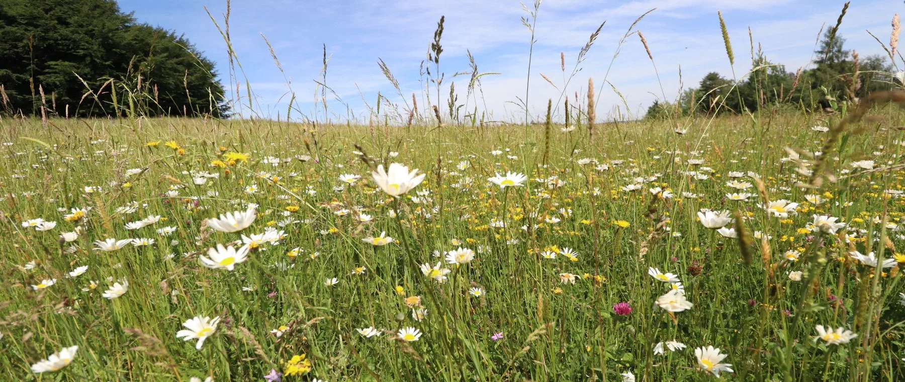
Eco-points and compensation areas
City of Ingolstadt
Immediately available eco-points in stock from officially recognised eco-accounts. greeNature solutions, your full-service partner for compensation according to BayKompV in the independent city of Ingolstadt and in the Danube area.
The City of Ingolstadt at a glance
Ingolstadt is an independent city in the Upper Bavaria administrative region and lies on both sides of the Danube in the transition between the Franconian Jura in the north and the Danube-Isar hilly region in the south. On around 133 km² about 145,000 people live, distributed across twelve city districts from the historic old town (city centre district) to peripheral areas such as Etting, Oberhaunstadt and Mailing.
In terms of natural regions, the predominant, south of the Danube located part of the city area belongs to the BfN natural region D65 (Lower Bavarian Hilly Region) with the Danube-Isar hilly region, whilst the northern fringe areas transition into the natural region D61 (Franconian Jura). Distinctive is the location in the Donaumoos, the largest lowland moor in southern Germany, and on the extensive Danube floodplains.
Ecologically significant are the Danube floodplains with their riparian woodlands, oxbows and extensively managed meadow areas. Four Natura 2000 areas lie within the city area, including the FFH area Danube floodplains between Ingolstadt and Weltenburg (7136-304) and parts of the EU bird protection area of the Danube floodplains, one of the largest bird protection areas in southern Germany.
Economically, Ingolstadt is characterised by automobile manufacturing. The AUDI AG has its headquarters here and is, along with numerous suppliers and the freight transport centre, the largest employer in the region. Plant extensions, commercial and logistics areas, residential quarters and transport infrastructure regularly generate substantial compensation requirements according to BayKompV.
🗺️ Associated natural regions
Go to natural region D65 ›
Go to natural region D61 ›
📍 City districts
🌿 Ecological features
- FFH area Danube floodplains between Ingolstadt and Weltenburg (7136-304)
- EU bird protection area of the Danube floodplains, important roost and breeding area for meadow and waterfowl
- Donaumoos, largest lowland moor in southern Germany, in the north-western surrounding area
- Riparian woodlands, oxbows and bank structures along the Danube
- Transition location between Franconian Jura (D61) and Danube-Isar hilly region (D65)
- Land recycling and unsealing of former industrial sites in the city area
✅ greeNature on the ground
Our Bavarian base in Kastl (Altötting district) lies in the same natural region network of the southern Bavarian Danube and Isar area. We know the Lower Nature Conservation Authority of Ingolstadt, the regional land pools and the peculiarities of compensation law in the urban conurbation on the Danube from practice.
Typical measures in the city of Ingolstadt
Danube floodplain restoration
Reconnection and creation of oxbows, near-natural bank structures and riparian woodland development along the Danube, creating spawning and breeding habitats for fish, amphibians and floodplain birds.
Land unsealing and land recycling
Decommissioning and unsealing of former commercial and industrial areas in the city, conversion to green-rich, infiltration-capable biotope areas as nature conservation compensation in the inner city.
Grassland extensification in the Donaumoos
Extensification of intensively used lowland moor and grassland in the Donaumoos and floodplains, rewetting of drained peat soils and habitat for meadow-breeding birds.
Riparian and bank woodland
Site-appropriate upgrading of soft-wood and hardwood riparian forests with white willow, black alder, sessile oak and ash, networking of woodland structures along the Danube and its tributary waters.
Species protection CEF/FCS
Measures for sand lizard on railway embankments and derelict land, bat roosts in riparian woodland, kingfisher steep banks and amphibian waters, tailored according to BayKompV and § 44 BNatSchG.
Hedgerows and habitat network
Creation of hedgerows, margins and stepping-stone habitats in peri-urban arable land, networking between Danube floodplains, Donaumoos and slope areas of the Franconian Jura.
Protected species in the Danube city between Franconian Jura and Donaumoos
Kingfisher and beaver on the Danube
Near-natural riverbank erosion and oxbows of the Danube floodplains provide kingfisher and beaver with habitat. Typical CEF measures are steep bank modelling, bank structuring and creation of still waters.
About this species ›Meadow-breeding birds in the bird protection area
The extensively managed meadows of the Danube floodplains are breeding areas for northern lapwing, great curlew and other meadow-breeding birds. Grassland extensification and adapted mowing regimes secure their populations.
About this species ›Amphibians in floodplain waters
Oxbows and floodplain pools are home to great crested newt, tree frog and other amphibians. Creation and networking of spawning waters is a frequent compensation measure in the Danube area.
About this species ›Bats in riparian woodland
Hollow-rich riparian woodlands and old woodland stands serve bat species such as common noctule and daubenton's bat as roosts and hunting areas along the Danube.
About this species ›Sand lizard on railway and derelict land
Railway embankments, slopes and industrial derelict land in the conurbation are core habitat for the sand lizard and regular target species in construction and infrastructure projects in Ingolstadt.
About this species ›Skylark in the arable landscape
The open arable landscape around the city is home to the skylark as a characteristic breeding bird. Skylark patches and wildflower strips are proven measures for open landscape species.
About this species ›Which projects trigger a compensation obligation?
Automobile and industry
As the headquarters of AUDI AG and location of numerous suppliers, Ingolstadt regularly generates high compensation requirements through plant and business extensions, new production and logistics areas. greeNature is an experienced partner for compensation land management in an industrial environment.
Housing and district development
The city's housing demand leads to new residential quarters and densification, for example in the fringe districts and on conversion areas. Such projects trigger compensation and replacement obligations according to sections 13 to 15 BNatSchG.
Transport and infrastructure
Expansion of federal roads and railway routes, Danube bridges and connection to the A9 create nature conservation compensation requirements, often linked to CEF measures for sand lizard and bats.
Commerce and logistics
Commercial and logistics areas around the freight transport centre and supplier industry claim open land. Landowners in the surrounding area can benefit as land providers for compensation measures.
From enquiry to monitoring
Contact and enquiry
Tell us your compensation requirement and the natural region. We check availability.
Offer and advice
A transparent offer covering measure types, scope and availability.
Coordination with authorities
Full coordination with the lower nature conservation authority. We handle everything.
Long-term monitoring
Permanent securing of the land, management and documentation across the contract term.
Eco-points in adjoining districts
All about eco-points
in the city of Ingolstadt
Request eco-points in the city of Ingolstadt
We will promptly prepare a transparent offer with matching eco-points held in stock in the city of Ingolstadt.